
Washington, D.C.
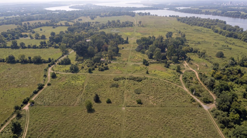
Washington, D.C. wasn't chosen because it was a good site for a city — it was chosen as part of a political compromise Hamilton proposed in June 1790, trading the capital's location for votes to fund the states' war debts.[1]
About the Place
Why it matters
Washington, D.C. is the capital city of the United States, established by the Residence Act of 1790 as a permanent seat of government on the Potomac River.[2, p. 6]
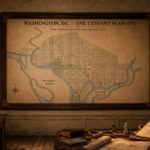
French-born engineer Pierre Charles L'Enfant drew up the city's original plan, though he was dismissed before construction was complete; surveyor Andrew Ellicott reproduced and oversaw much of the finished layout as L'Enfant had envisioned it.[3, p. 7]
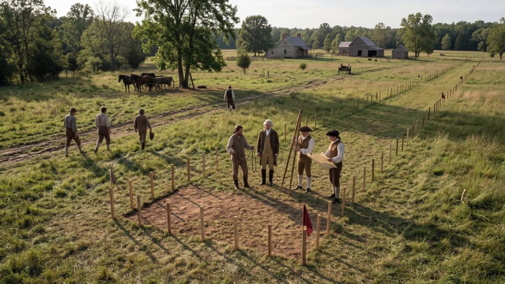
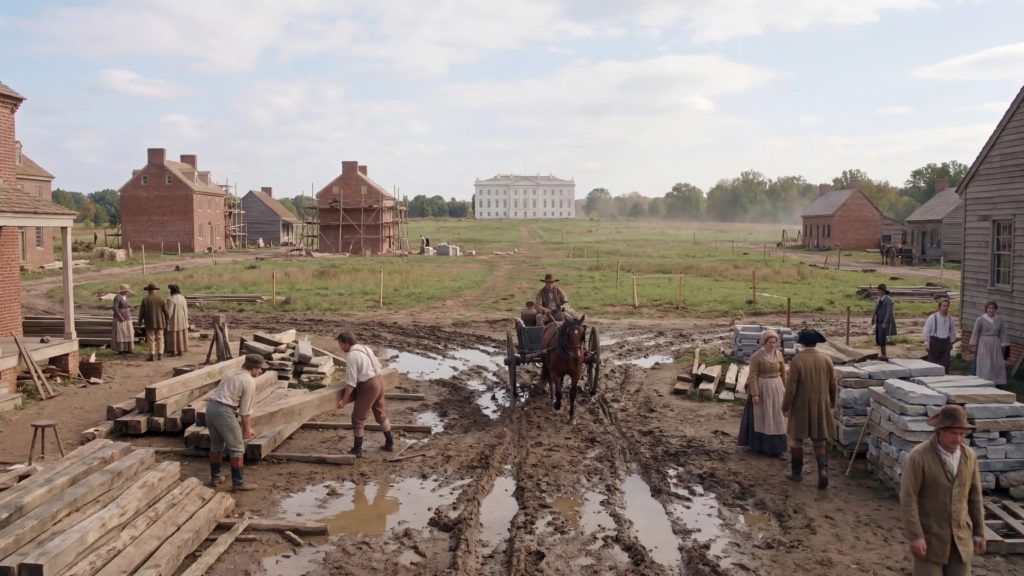
The federal government relocated from Philadelphia to the new capital in June 1800, and the city has since housed the White House, the U.S. Capitol, and the Supreme Court, alongside the growing federal bureaucracy.[1]
Named for George Washington and set within the District of Columbia, the city was partially burned by British forces during the War of 1812 and has since been rebuilt.[4]
Legacy & Reputation
What’s the verdict?
Washington’s reputation rests on being deliberately different from every other American city: it was founded as the nation’s capital and a symbol of democracy, not as a commercial venture like its rivals.[2, p. 11] Preservationists and federal planners still treat that founding purpose as worth protecting rather than merely historical — Washington is considered one of the most unique planned, purpose-built capital cities in the world, and preserving that symbolic character remains an active concern over two centuries later.[2, p. 39]
Myth-buster
Think you know this one?
Myth: when Pierre Charles L’Enfant was dismissed from the project in 1792, Benjamin Banneker reconstructed his entire city plan from memory, saving Washington’s design. In fact, it was surveyor Andrew Ellicott — not Banneker — who used his own notes and his memory of the plan to reproduce it, after L’Enfant demolished part of a house that stood in the way of a planned avenue and was dismissed as a result.[3, p. 7]
Quick Facts
The essentials
Quick Facts
Roger would like to establish something…
Washington was not the first American capital. Between 1774 and 1789, Congress met in eight different towns and cities — Philadelphia, Baltimore, Lancaster, York, Princeton, Annapolis, Trenton and New York — part of the time chased off by the enemy, part of the time by its own disgruntled soldiers.[1]
The capital was a bargain…
The site was settled by political trade. In June 1790, Alexander Hamilton proposed a compromise: locate the capital on the Potomac, and in return secure enough Southern votes to pass his bill for federal assumption of state war debts.[1]
Keith checked the sources…
Benjamin Banneker, a free Black astronomer, genuinely worked on the 1791 survey of the district boundary. The popular story that he reconstructed L'Enfant's city plan from memory belongs to someone else entirely: it was surveyor Andrew Ellicott who redrew the plan from his own notes and memory after L'Enfant's dismissal.[3, p. 7]
The District used to be bigger…
The original district included land donated by Virginia. Virginia wanted it back, and by an Act approved 9 July 1846, Congress retroceded the county of Alexandria to the State of Virginia, returning part of the original territory.[5]
Roger has a theory…
Pierre Charles L'Enfant designed the city and lasted barely a year. He was dismissed in 1792, having demolished part of a house belonging to Daniel Carroll because it stood in the way of the planned New Jersey Avenue.[3, p. 7]
Meanwhile, in history…
British troops burned public buildings in the capital during the War of 1812, an episode confirmed in Madison's own papers.[4]
Keith has checked the calendar…
George Washington oversaw the early planning and building of the city that bears his name but never governed from it himself; the government's move from Philadelphia is documented in the library, though a precise 1800 date could not be pinned to a single passage.[4]
The stones are still out there…
Forty boundary stones, laid at one-mile intervals, marked the new federal district's boundaries — their positions fixed by celestial calculations from Benjamin Banneker.[6, p. 7]
The residents had no vote…
District residents could not vote for President until the 23rd Amendment was ratified on 29 March 1961, granting the District electors in presidential elections.[7]
The grievance survives on the number plates…
In 2000 the District put its long-standing protest into print: new license plates carried the motto ‘Taxation Without Representation,’ a stark reference to residents' lack of a vote in Congress.[8]
...the west end of Jenkins heights which stand as a pedestal waiting for a monument.[9]
Pierre Charles L'Enfant
From L'Enfant's report recommending the site for the Congress house in his plan for the new federal city; the rise he described became Capitol Hill.[9]
Timeline
How it unfolded
16 July 1790
Residence Act chooses the Potomac for the capital
Congress passed the Residence Act on 16 July 1790, accepting a district of up to ten miles square on the Potomac River as the permanent seat of the federal government.[3, p. 5] The choice of the exact spot was left to President Washington.[9]
9 September 1791
L'Enfant's plan and the naming of the City of Washington
In a letter of 9 September 1791 to Pierre L'Enfant, the commissioners decided that the federal district would be called the Territory of Columbia and the Federal City the City of Washington.[10] L'Enfant had planned the city in 1791 under George Washington's direction.[11, p. 91]
c. 1 March 1792
L'Enfant dismissed from the project
George Washington dismissed L'Enfant for insubordination in early 1792, and the execution of his plan passed to his assistant Andrew Ellicott.[12, p. 1][11, p. 91]
18 September 1793
Cornerstone of the Capitol laid
President George Washington laid the corner stone of the United States Capitol on 18 September 1793.[13, p. 109]
17 November 1800
Government moves to Washington
Once the wings of the Capitol were sufficiently prepared, the government removed to the new capital on 17 November 1800, with John Adams as President.[14][13, p. 109]
24 August 1814
British burn the public buildings
On 24 August 1814 the British army entered Washington and burned the public buildings; until then the Senate had occupied the Capitol's north wing and the House of Representatives its south wing.[14]
Dig Deeper
Copy any prompt below into your favourite AI chat to keep exploring.
Walk me through the political deal in the Residence Act of 1790 that put the US capital on the Potomac River instead of New York or Philadelphia
What does building a brand-new capital city from scratch like Washington Canberra or Brasilia say about a young country's need to prove itself
Convince me that the 40 forgotten boundary stones still marking DC's original ten-mile square deserve to be treated as one of America's oldest surviving monuments
Further Reading
Where to read more
A Blueprint for the Capital City — Library of Congress Magazine
Article. Free online, no login. Explains how Pierre L'Enfant's 1791 plan placed the Capitol at the center of the city, with broad avenues radiating outward like spokes on a wheel.
Why look at this: Explains exactly how L'Enfant's 1791 plan placed the Capitol at the centre of the city with avenues radiating outward like spokes — the layout that still governs how the city reads today.
https://lcm.loc.gov/issue/july-august-2025/a-blueprint-for-the-capital-city/Shaping the Federal City: A Sacred Piece of Home
Episode one of WETA's local-PBS documentary series on the origins of Washington, D.C., tracing the area's history from Indigenous and colonial land, through slave and tobacco ports, to the founding of the federal capital. Free to stream on pbs.org.
Why look at this: Traces the site's history before it was ever a capital — Indigenous and colonial land, tobacco and slave ports — the part of the story that gets skipped when the founding starts in 1790.
https://www.pbs.org/video/shaping-the-federal-city-htvkge/Thomas Jefferson and the National Capital — ed. Saul K. Padover (National Park Service Source Book Series No. 4, 1946)
Primary-source collection. Free online, no login. Reproduces the actual letters exchanged between Jefferson, Washington, L'Enfant, and the city commissioners while the capital was being sited and built.
Why look at this: Reproduces the actual letters between Jefferson, Washington, L'Enfant and the city commissioners while the capital was literally being argued over and laid out on the ground.
https://www.nps.gov/parkhistory/online_books/source/sb4/index.htmRelated
Keep exploring







Can be seen in
Where this shows up

References
Sources
Sources
- BookA portrait of Old George Town by Grace Dunlop Peter ↑
- WebsiteFederal Interest Report and Findings (Draft, September 2013) - National Capital Planning Commission. Pages 6, 11, 39. ↑
- WebsiteHistorical Background on the Height of Buildings Act (Draft) - National Capital Planning Commission. Pages 5, 7. ↑
- BookTHE LIFE OF JAMES MADISON by GAILLARD HUNT ↑
- BookDocumentary history of the construction and development of the United States Capitol building and grounds .. by United States. Congress. House. Commission on Construction of House Office Building ↑
- WebsiteL'Enfant Plan of the City of Washington, District of Columbia - National Register of Historic Places Registration Form. Page 7. ↑
- Websiteconstitutioncenter.org: Amendment xxiii ↑
- Websiteboundarystones.weta.org: Washington taxation without representation history ↑
- BookWith Americans of Past and Present Days by J. J. Jusserand ↑
- BookThe national Capitol : its architecture, art and history by George Cochrane Hazelton ↑
- BookWashington's southern tour, 1791 by Archibald Henderson. Page 91. ↑
- WebsiteClassroom Resource Packet: Designing the White House 1792-1830. Page 1. ↑
- BookCelebration of the one hundredth anniversary of the laying of the corner stone of the Capitol of the… by Duncan S Walker. Page 109. ↑
- BookAddress of Hon. John C. Breckinridge, vice president of the United States : preceding the removal of the… by John C. Breckinridge ↑
- Websiteen.wikipedia.org: L'Enfant Plan ↑
- Websitenpgallery.nps.gov: NRIS ↑